Robotic systems
Ground robots. Aerial drones. One software core.
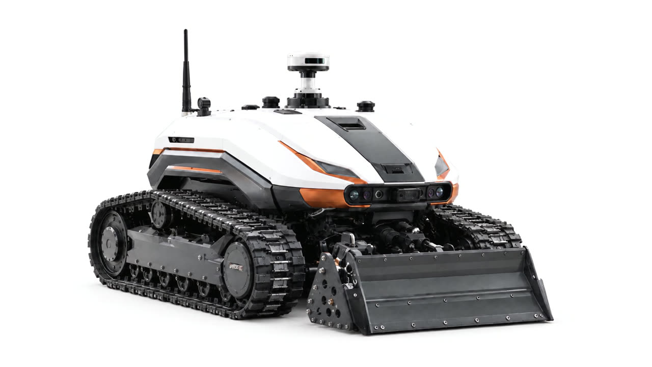
NRED Intelligent Mining builds robots that inspect, sample, patrol, and map mines, buildings, and city infrastructure.
Our sensing payload is nine sensors: 360° 3D LiDAR, 4K camera, thermal camera, infrared pyrometer, magnetometer, Geiger counter, six-gas analyzer, acoustic sensor and ground-penetrating radar. Robots run on AI or Full Remote and stream live to VR and smart glasses. All of them run NRED Core, our own software, which installs on any robot, ours or another maker’s.
Portfolio
Nine systems. Different jobs.
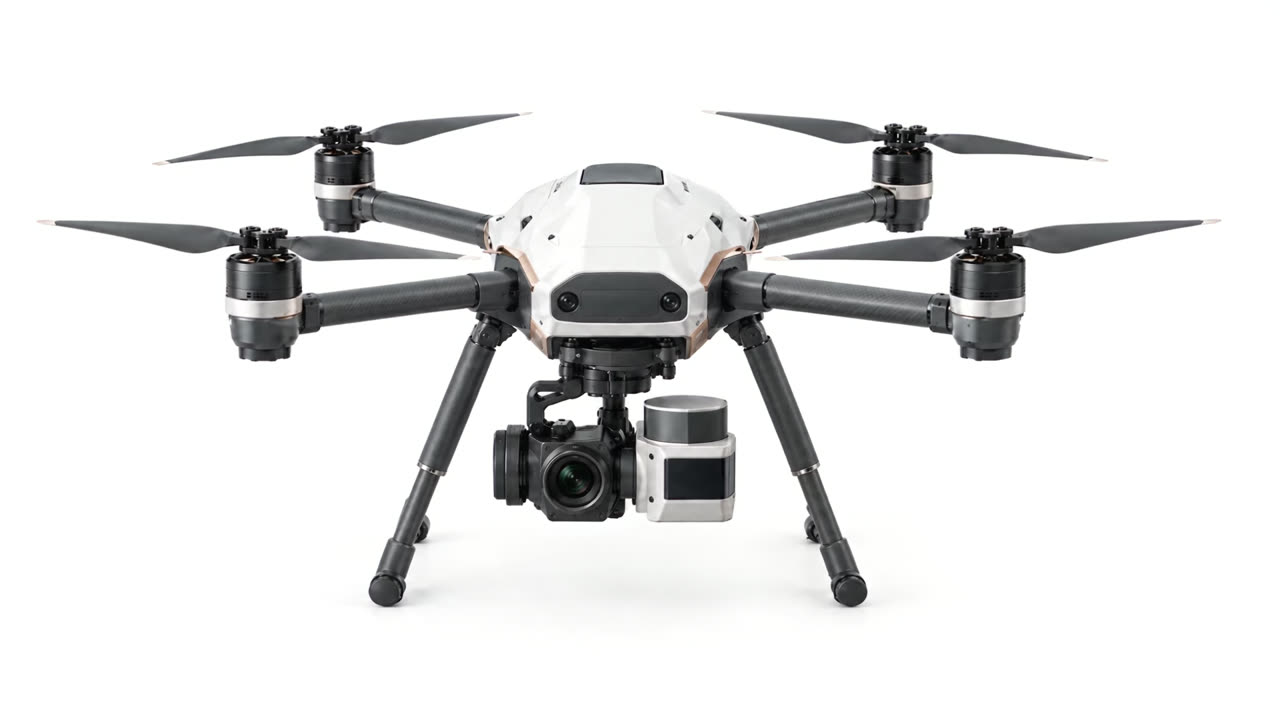
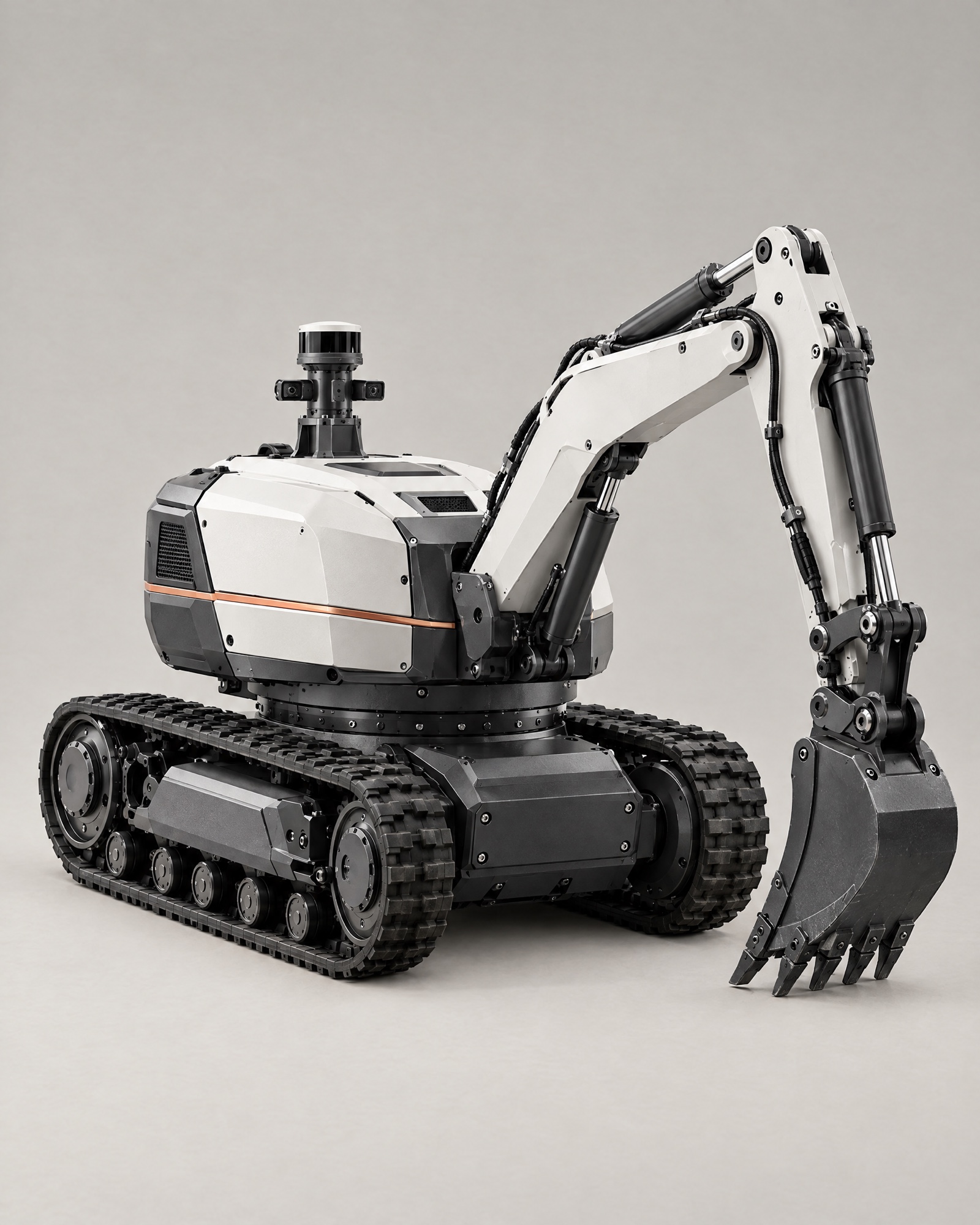
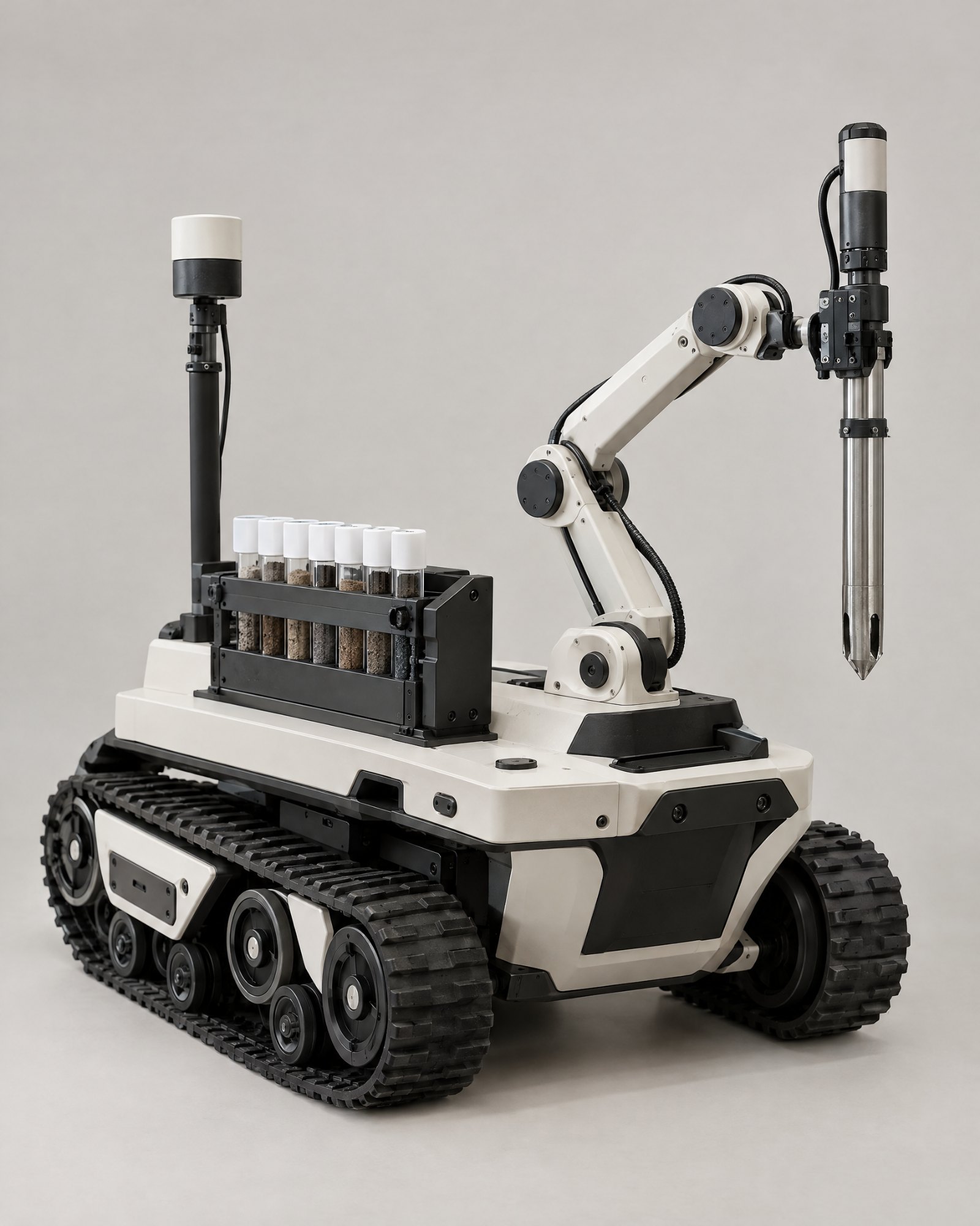
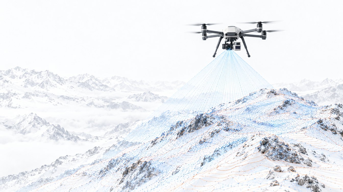
Aster excavates. Stratum samples. Vigil patrols and inspects. Cirrus observes from above. Meridian maps territory.
Our wider portfolio also includes Nox for ground preparation, Prism for core analysis, Soma for humanoid assistance, and Bastion for response support.
-
01
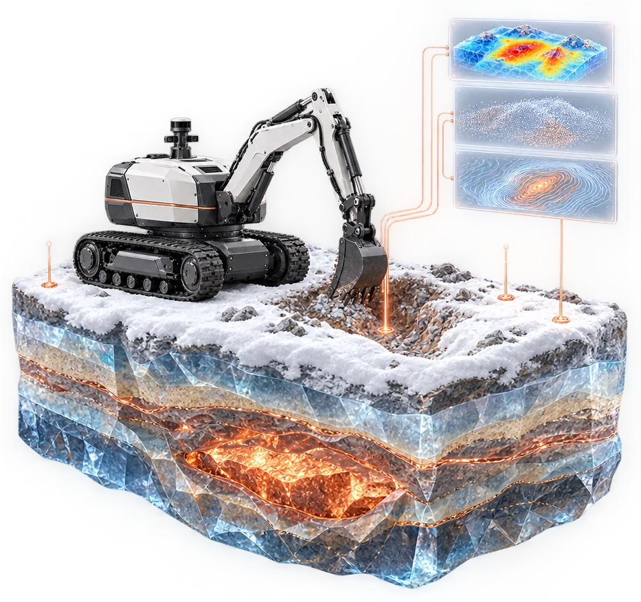
 AsterRobotic Excavation
An excavator robot for controlled digging, ground preparation, and material handling.
-
02
 StratumRobotic Sampling
A robotic system for collecting material and maintaining a traceable sampling record.
-
03
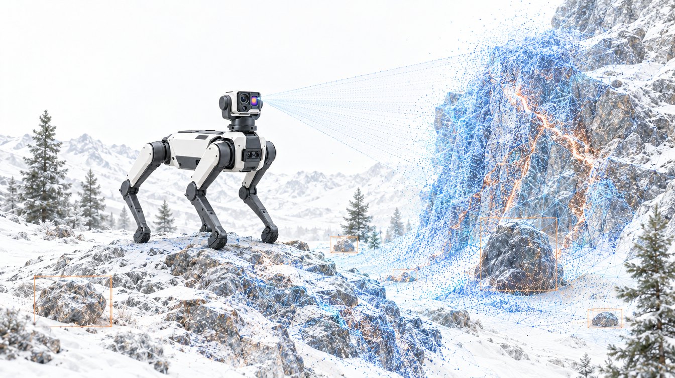
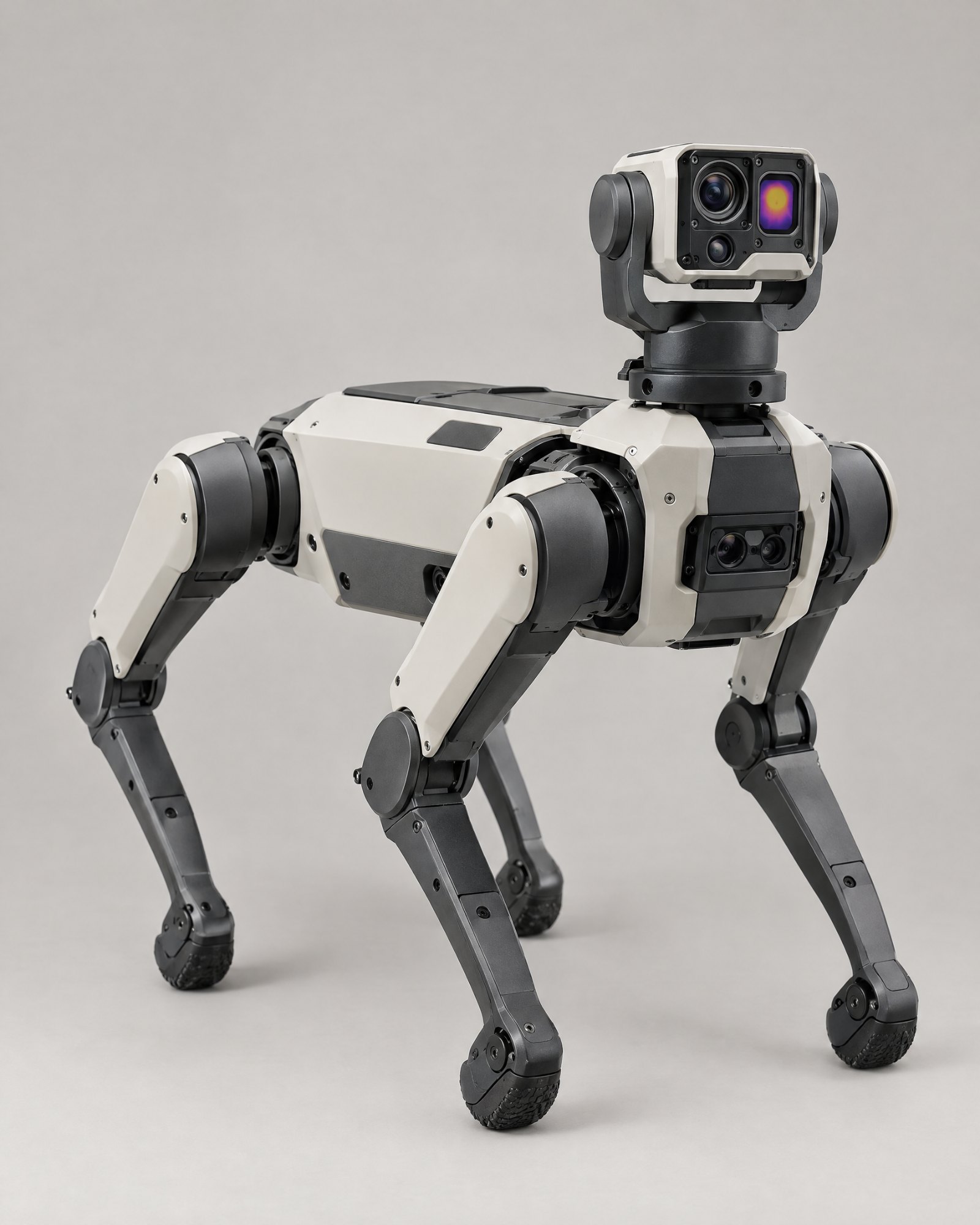 VigilQuadruped Robotics
A four-legged robot for inspection, patrol, and reconnaissance, with thermal, gas, and radiation sensing.
-
04
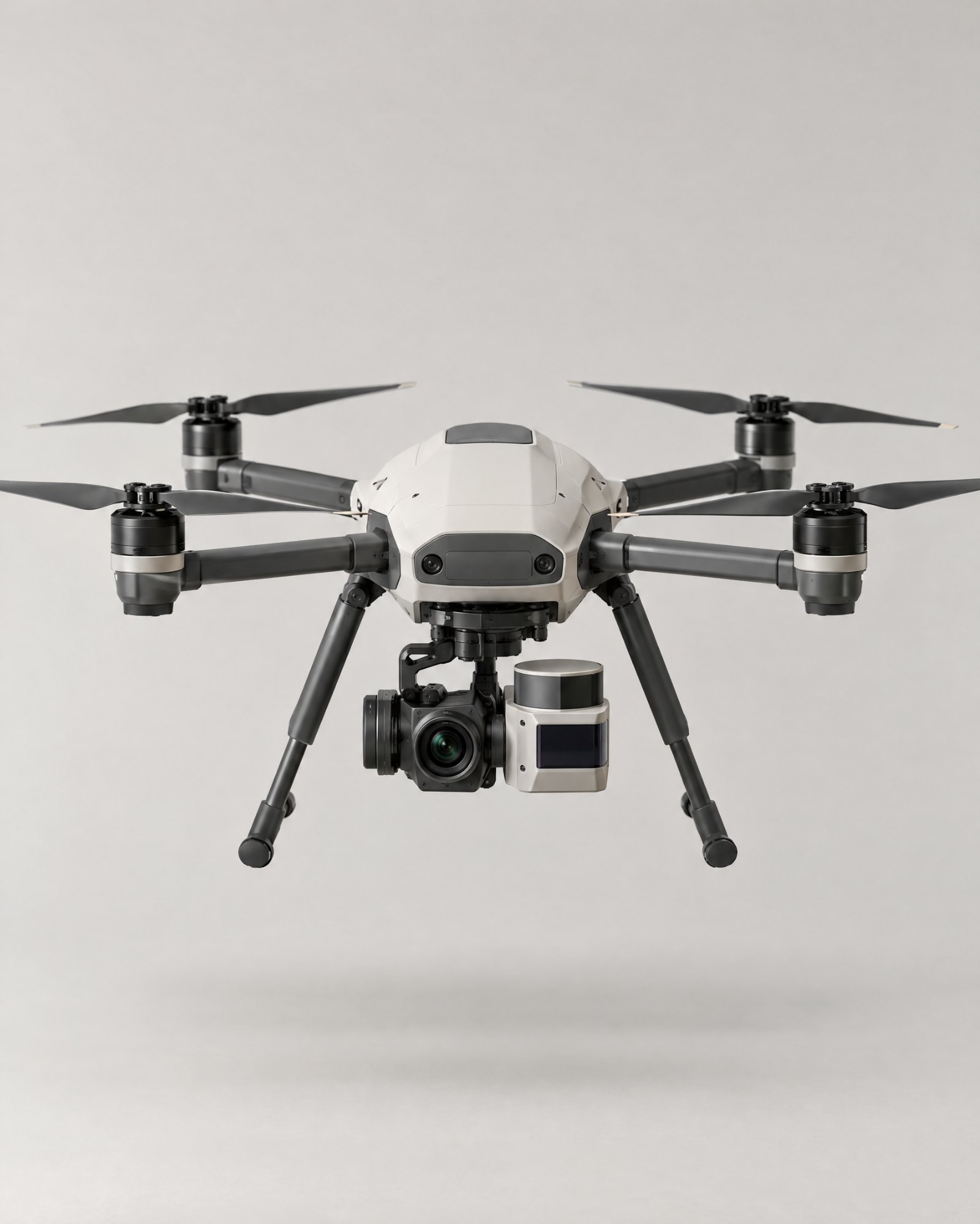 CirrusAerial Observation
An aerial drone for close inspection of shafts, structures, and sites.
-
05
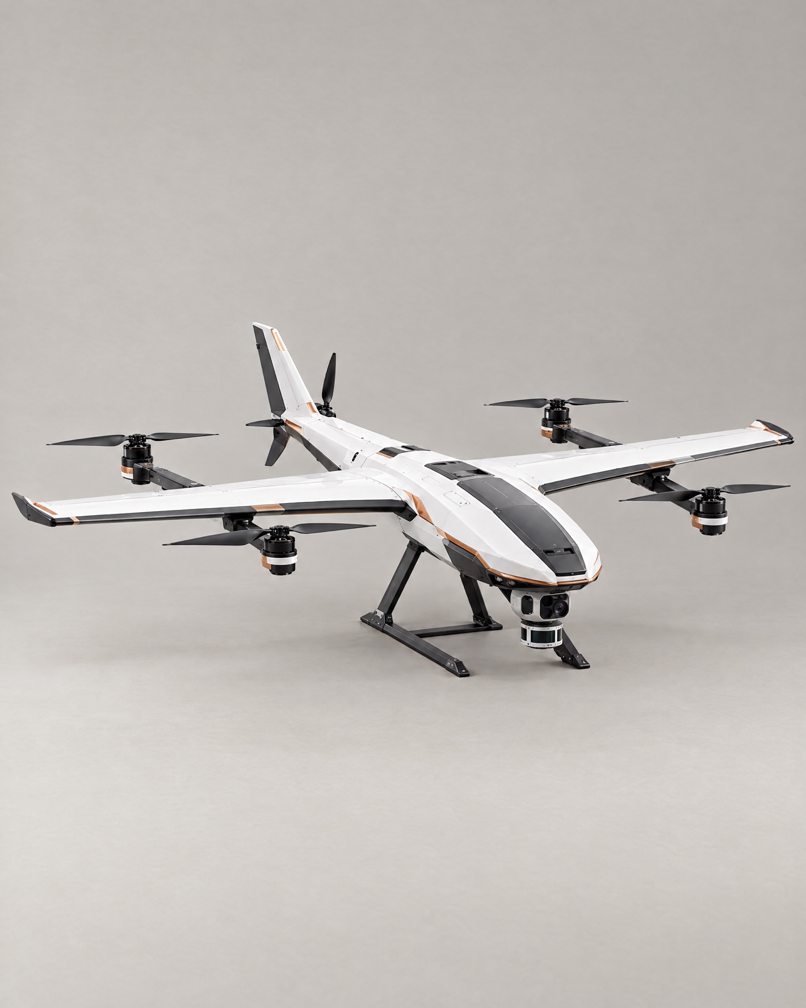 MeridianAerial Mapping
A survey drone that scans territory into 3D maps and repeats the survey to show change.
-
06
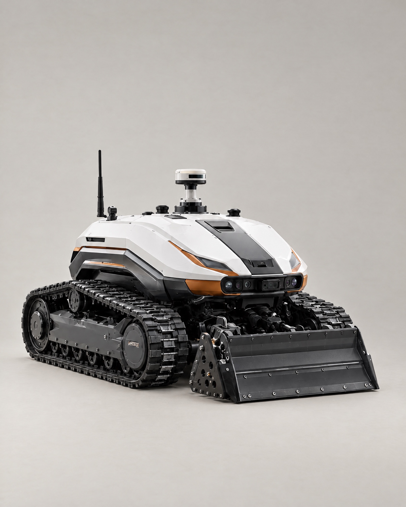 NoxTracked Ground Robotics
Ground preparation, loose-material clearing, and access-route work.
-
07
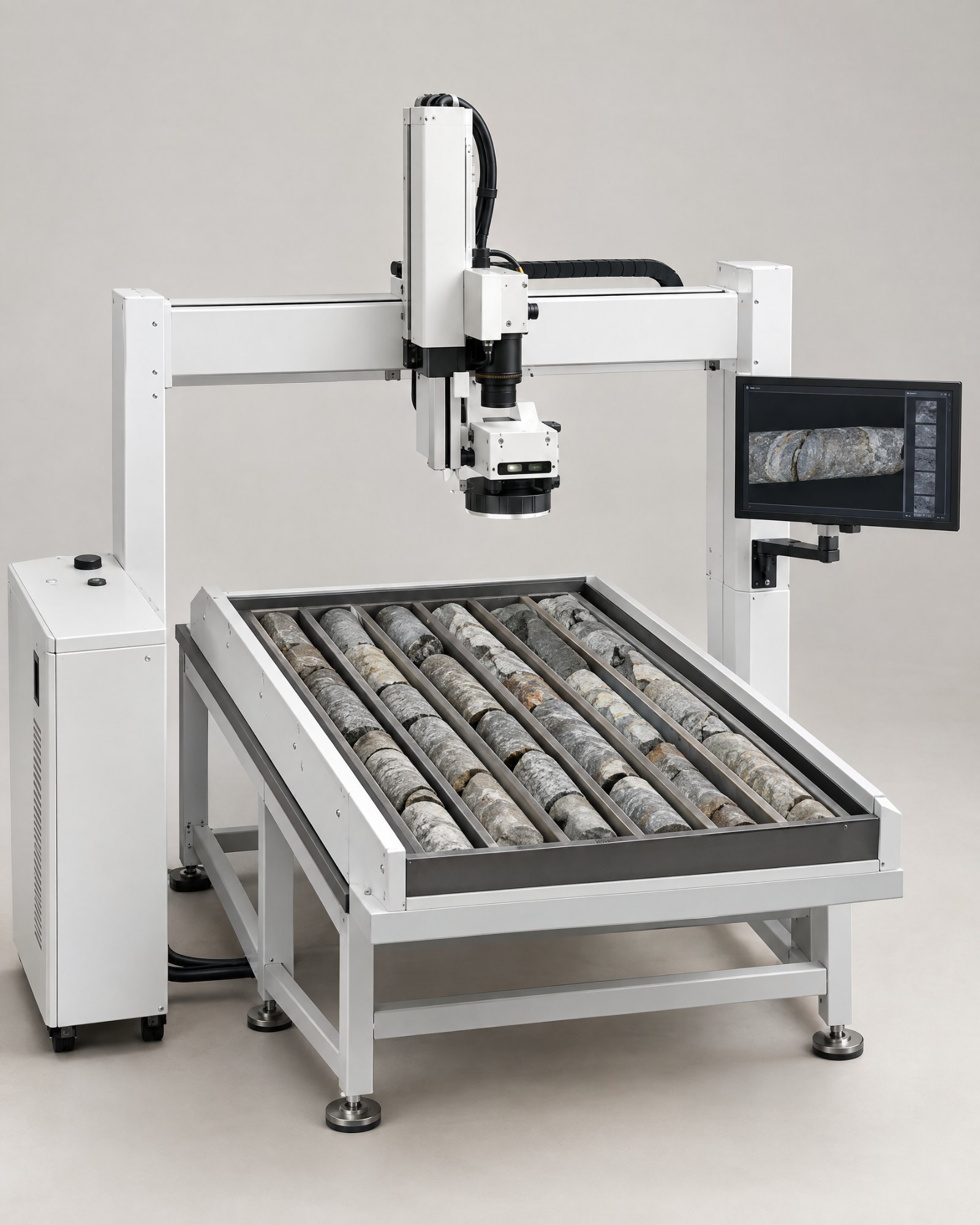 PrismCore Intelligence
Robotic scanning and handling for drill-core records.
-
08
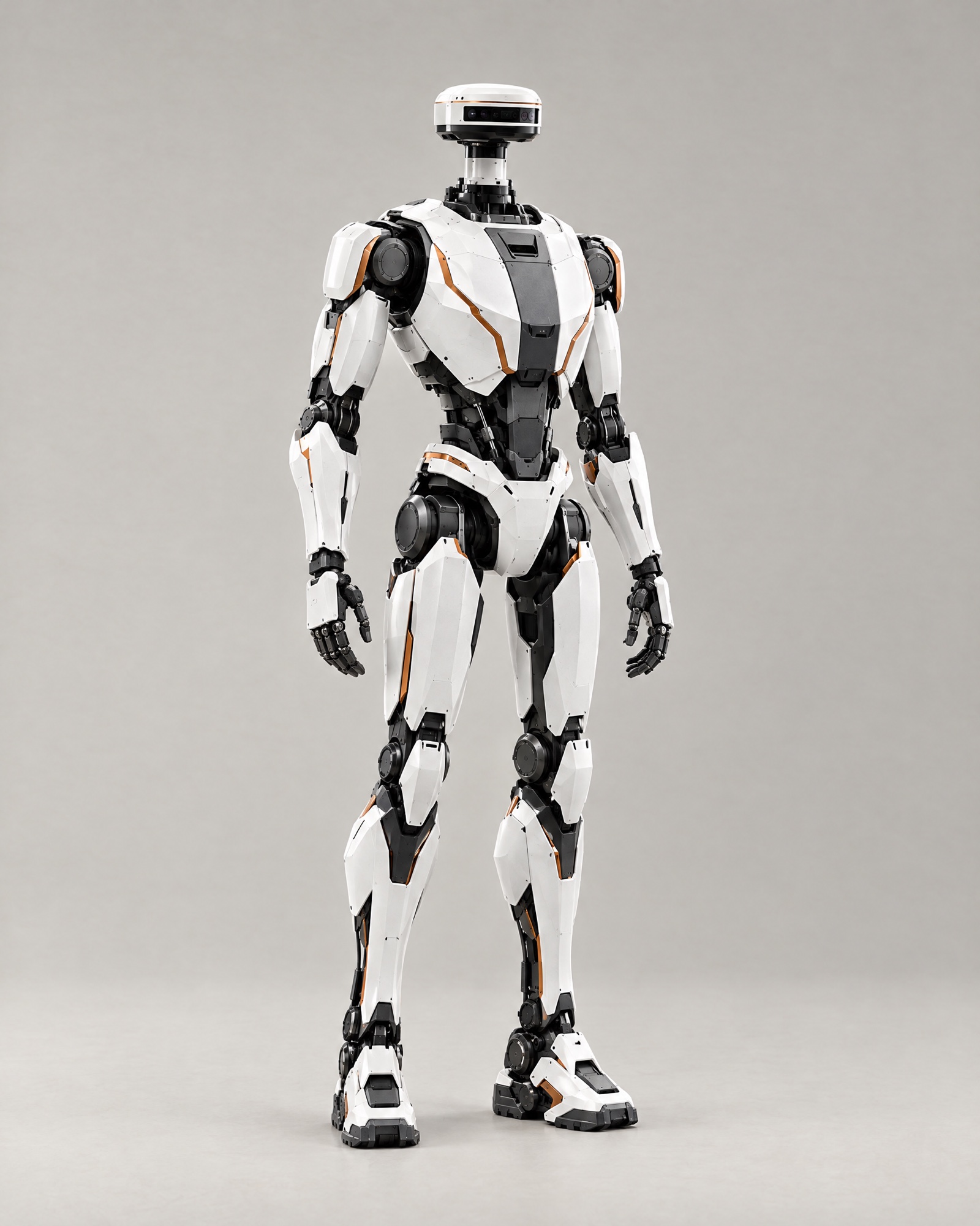 SomaHumanoid Robotics
A humanoid platform for supervised tasks and remote support.
-
09
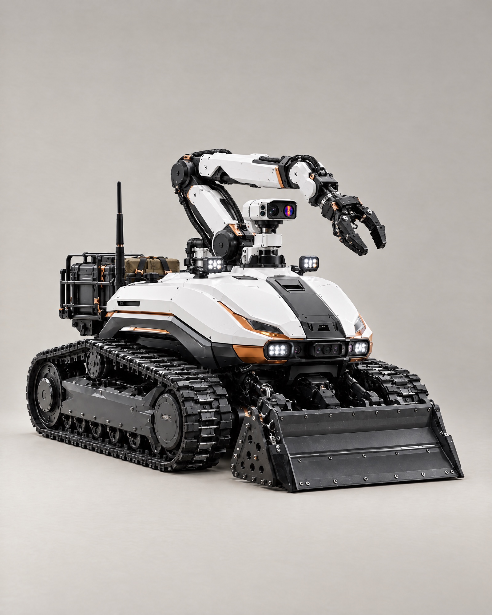 BastionResponse Robotics
Remote assessment and physical support for response teams.
Sensing
Nine sensors catch what people can’t.
Gas
A multi-gas analyzer reads six gases: methane, carbon monoxide, carbon dioxide, hydrogen sulfide, nitrogen dioxide and oxygen. The air is known before anyone goes in.
Magnetic field
A fluxgate magnetometer on a non-magnetic fibreglass mast, away from motor noise, reads changes in the field in nanotesla. Anomalies can point to ore bodies, metal and buried objects.
Radiation
A Geiger–Müller counter measures gamma dose rate in µSv/h and gives uranium, thorium and potassium indicators. The dose is known before a crew enters.
Heat and infrared
A thermal camera and an infrared pyrometer map heat without contact: hot joints, overheating rollers, cold air flows, people in the dark. Infrared light gives vision in unlit workings.
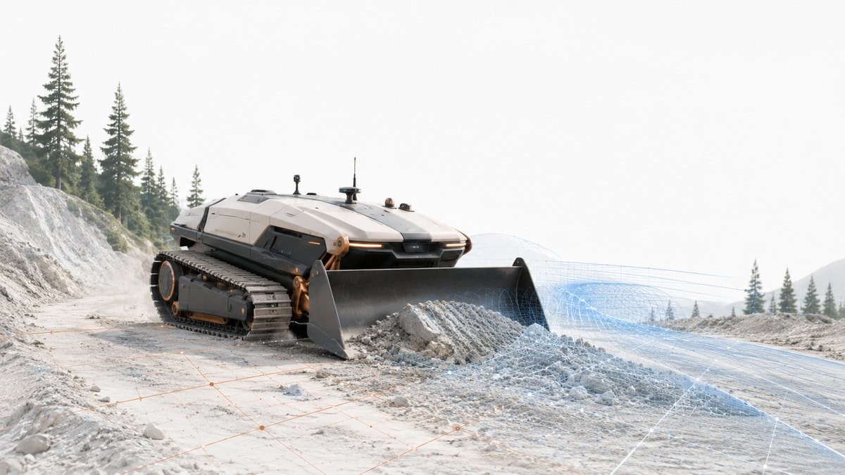
MetalCore connection
From robot scan to 3D map.
Every mission feeds MetalCore, which combines the scan with 4.1M+ geological records into a 3D map of the mine, tunnel, or building, each reading in place.
Teams compare each pass with the last one and with over 100 years of geological records, and see what deserves another look.
Discover MetalCoreCollaboration
Bring us a task worth solving.
Tell us where people shouldn’t go first, or which robots you want to run on NRED Core.