Robotics / Meridian
Aerial mapping
Meridian
A wider view. A clearer record.
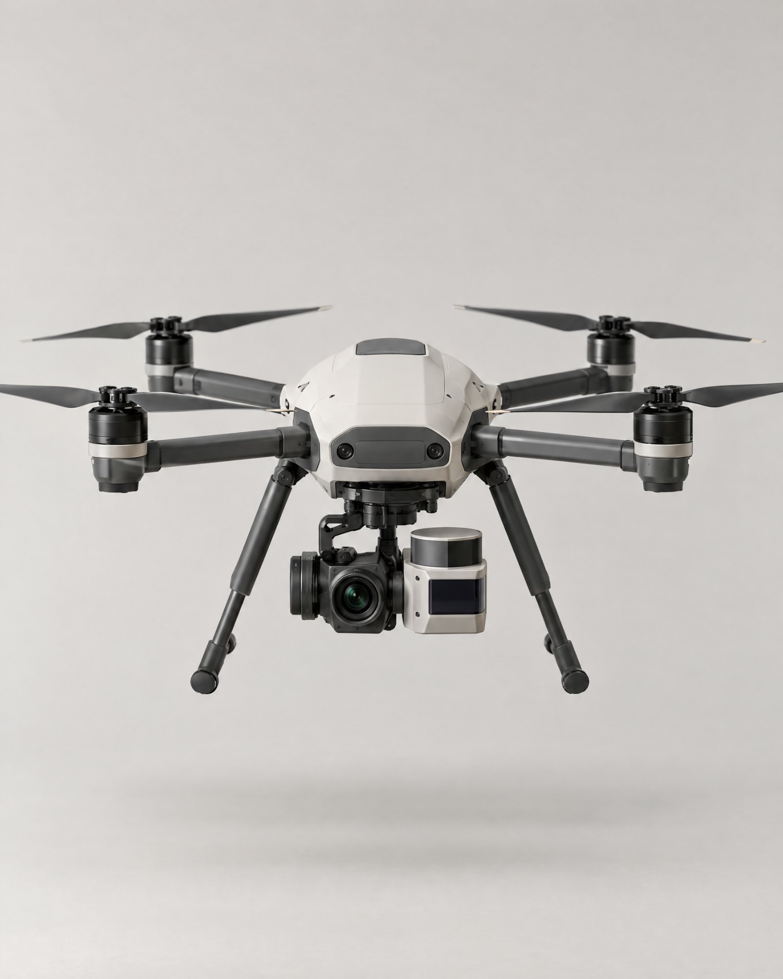
Meridian is a survey drone for territory scanning, cartography, and terrain monitoring.
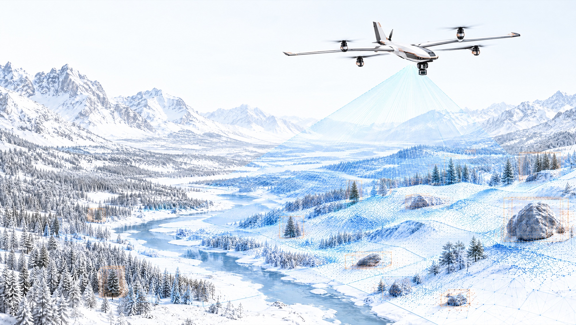
It turns large areas into georeferenced 3D maps in MetalCore and repeats the survey to show what has changed.
Discuss a Mapping Application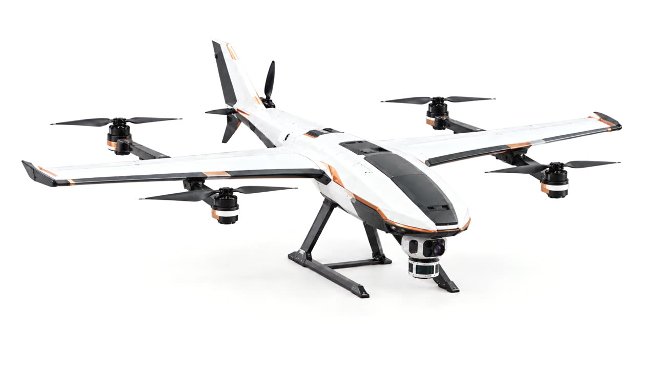
Understand a place through change.
A survey captures a moment. Repeated surveys show what has changed.
Meridian creates spatial records that teams can compare to understand surface conditions, document changes, and plan further investigation.
Applications
- 01CartographyCapture survey data for mapping and planning.
- 02Territory scanningSurvey larger areas and identify locations requiring closer observation.
- 03Environmental researchDocument landscape and surface changes over time.
- 04Disaster recovery mappingSupport assessment of affected terrain, infrastructure, and access routes.
Put the territory in context.
Other systems
View the full portfolio →