The challenge
One environment. Many sources of evidence.
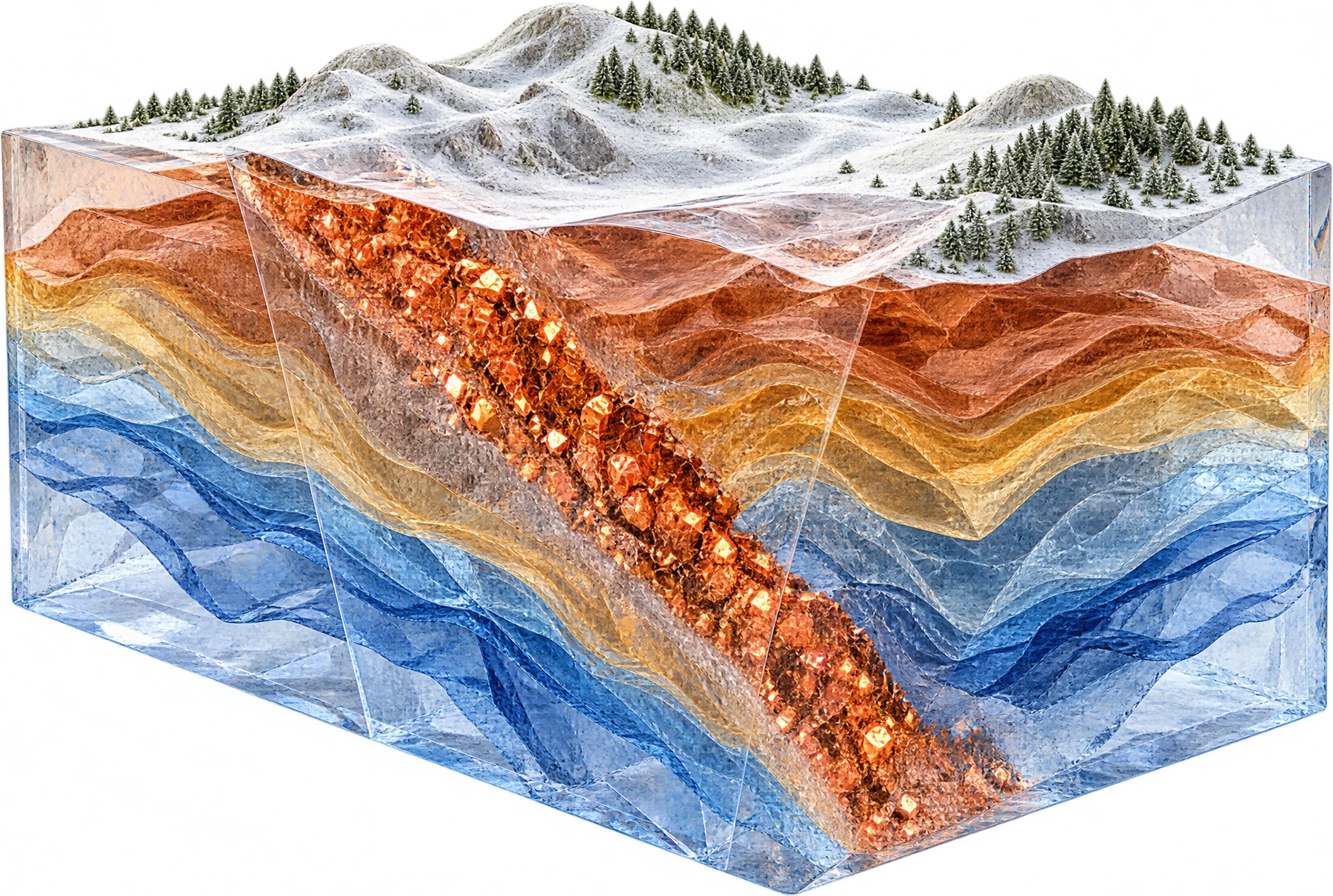
Mine plans, surveys, samples, claims, and new robot scans describe the same ground.
MetalCore combines them into one 3D picture while keeping each source’s origin, quality, and limitations.
Development areas
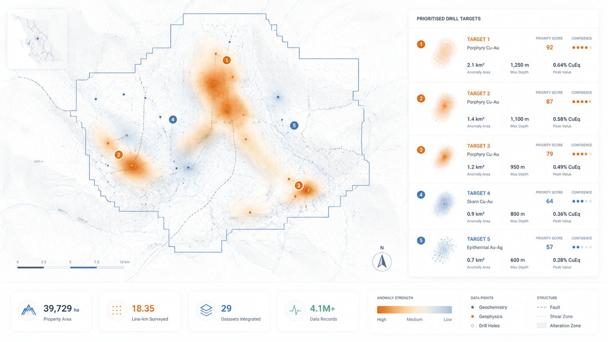
From individual datasets to a broader understanding.
Data integration
Organize complementary information within a shared geological and spatial context.
Anomaly analysis
Rank gas, radiation, thermal, and magnetic anomalies for closer investigation.
3D mapping
Turn robot scans into measured 3D maps of mines, tunnels, and buildings.
Evidence trail
Connect analytical outputs to the evidence, assumptions, and uncertainty behind them.
Robotics connection
Let each mission inform the next.
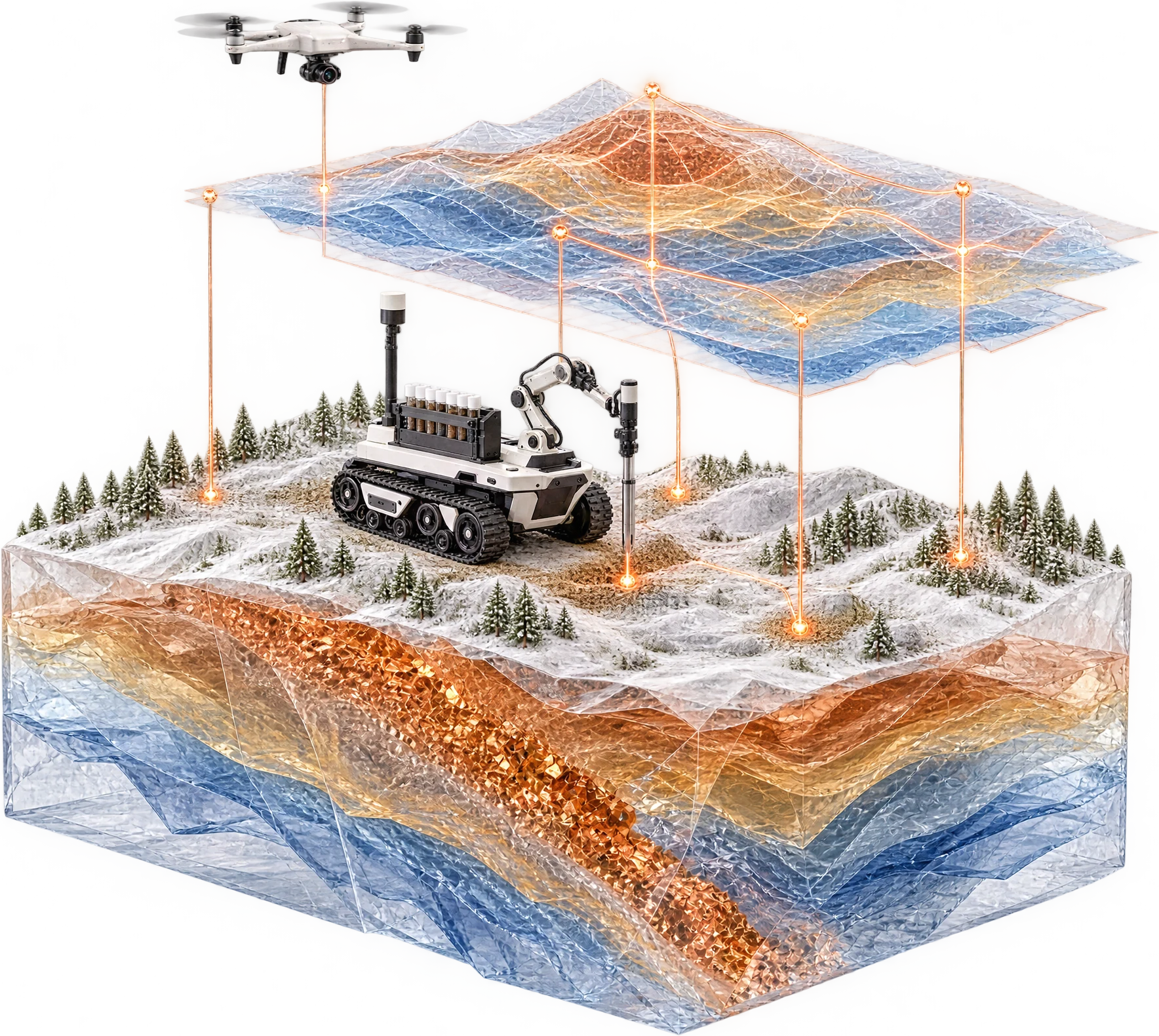
NRED robots send their scans and sensor readings into MetalCore on every mission.
Each new pass updates the 3D map and shows teams where to investigate, what to sample, and which areas deserve another look.
Technical perspective
Interpretation grounded in evidence.
Useful geological intelligence depends on appropriate instruments, quality-controlled data, and informed technical judgment.
MetalCore is being developed to support that process, with laboratory validation where required and qualified review remaining central to geological conclusions.
Collaboration